Heightmap
The heightmap allows direct control of the base height values for the whole map. It can blend with, or replace the base part of the vanilla proceduraly generation.
A heightmap of 4096 x 4096 results in each pixel representing about 4 x 4 meters in game (the map size is 20 km x 20 km).
The cloud layer in game has been determined to be at about 400 m above sealevel, meaning that an 8 bit heightmap (256 gray levels) can represent height differences of about 1.5 m. A 16 bit heightmap can represent height differences of less than 1 cm.
Contents
Heightmap File
Setting
Path to a heightmap file to use.
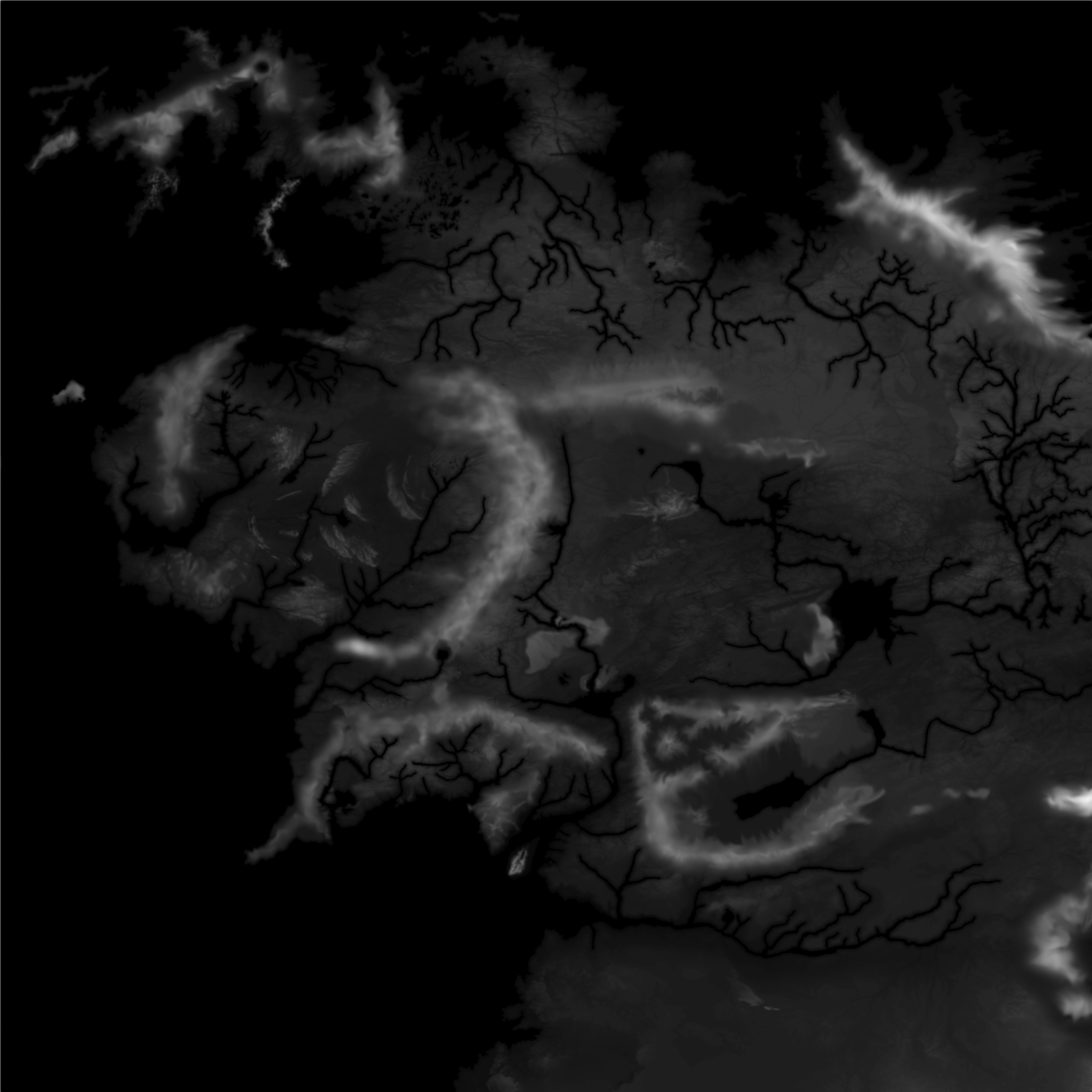
Examples
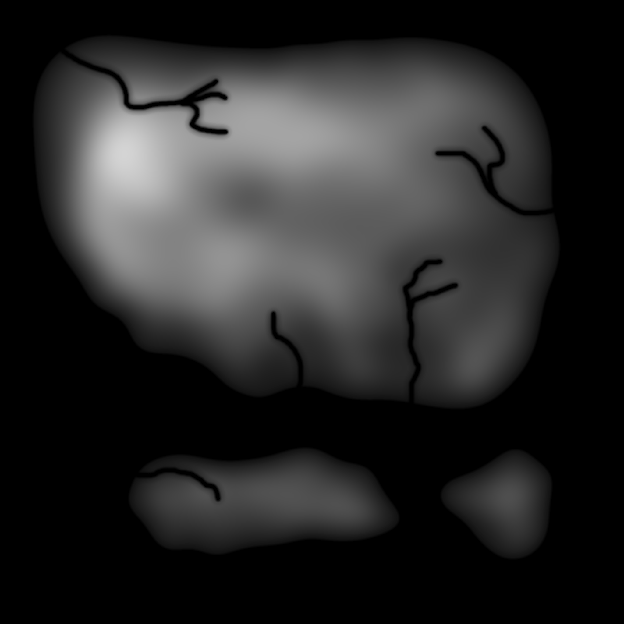
![]()
Console
Command: bc param h fn 
Requirements
See Image Requirements for the size and format requirements.
8 or 16 bit grayscale Png of medium to high resolution would be a sensible format for a heightmap.
Where to get Heightmaps
- Craft them from scratch in some package. People have used Photoshop, Krita, GIMP, Blender to good affect.
- This very nice Google Maps style page that will export heightmaps directly for any area on Earth.
- World Machine: This is highly advanced heightmap generating software that can do things like physical modelling of erosion. It can also generate assist in generating biome maps automatically as well.
- Gaea: Similar to World Machine, might be quicker to get started with.
Creation Hints
- Ensure the ocean areas of the heightmap are pure black, not grey
- Apply automatic contrast/levels to ensure the values are using the full range available
- I recommend smoothing (blurring) the image to avoid any sharp changes in altitude
- Getting sealevel looking correct might take some tweaking, of either the image itself or the sealevel setting
- To determine sealevel with your current config settings you can create a smooth gradient on the heightmap (gradient paint bucket tool in Photoshop), apply a flatish biome to it (e.g. plains), and then view it in game to determine what gray value corresponds to sealevel. In my testing with sealevel set to 25% the corresponding gray value is about #0d0d0d.
- When trying to test your map in game start with all default, then set these settings:
- Heightmap File - paste your file name in here, or use the Project Directory with an appropriate heightmap file in it.
- Ocean Channels un-ticked
- Rivers un-ticked
- Ridges Amount 0%
Heightmap Amount
Setting
Multiplier of the height value from the heightmap file (more than 1 leads to higher max height than vanilla, good results are not guaranteed).
Default
1
Range0to5
Console
Command: bc param h am 
Heightmap Blend
Setting
How strongly to blend the heightmap file into the final result.
Default
1
Range0to1
Console
Command: bc param h bl 
Heightmap Add
Setting
How strongly to add the heightmap file to the final result (usually you want to blend it instead).
Default
0
Range-1to1
Console
Command: bc param h ad